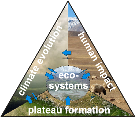
Poster, Arbeitskreis Klima (AK Klima) 28. Jahrestagung, Hamburg: 30.10.2009 - 01.11.2009
Abstract:
The central goal of the project DynRG-TiP (Dynamic Response of Glaciers on the Tibetan Plateau) is improving our understanding of atmosphere-cryosphere interactions on the Tibetean Plateau (TiP) by adding new data and improved methods combining field studies, remote sensing and numerical modelling. The development of a numerical model framework for computing surface energy and mass balance components on selected glaciers on the TiP is conducted collectively by the TU Berlin (mesoscale atmospheric simulation) and the RWTH Aachen (glacier mass balance). Phase one of the project focuses on the definition of a consistent and effective set-up for each component before their integration in the overarching model architecture. The major influence of the TiP on the general circulation over Asia, its importance on the monsoonal system as well as its role on the occurrence of heavy orographical rainfall have been shown in numerous studies. At the same time, the challenges generated by the lack of observations and by the difficulty of simulating correctly the processes occurring in complex terrain makes the spatial retrieval of precipitation amounts very delicate. Nevertheless, a correct estimation of daily precipitation over the glacial areas is crucial for substantial surface energy (SEB) and surface mass balance (SMB) computations. A first assessment of the Weather Research and Forecasting (WRF) modelling system is realized by simulating a strong precipitation event that occurred in the period 25-27 October 2008 over the Nyainqentanglha Mountains (NyM) in the southern TiP. The precipitation output of the model is examined and compared to satellite based datasets (TRMM, MODIS) and ground observations. The two-way nesting downscaling capabilities of the model as well as several physical parametrizations are confronted, in order to establish the most convenient setup for future long-term simulations. Standard and categorical verification statistics were implemented to confirm synoptical analysis, showing good capacities of the model in retrieving daily precipitation patterns over the study area. However, the precipitation amounts are for the most part overestimated in steep and snowy areas, results that corroborate with the previous studies. Zhadang Glacier and Tangse River No.2 Glacier are two connected high mountain glaciers, situated in the western NyM. The north faced Zhadang Glacier is connected with the south oriented Tangse River No.2 through an ice divide in about 5.850 m a.s.l. and together cover an area of nearly 5.5 km² (2005). Glaciers in the western NyM are less influenced by the Indian summer monsoon than glaciers in the southwestern plateau but still belong to the mass balance regime of the 'summer-accumulation type'. Since September 2005, when the 'Nam Co Station for Multisphere Observation and Research' was set up by the Institute of Tibetan Plateau Research (ITP), Chinese Academy of Sciences (CAS), surface mass balance has been recorded for Zhadang Glacier. Mean annual mass balance values from 2006-2008 are background for a first calibration of an enhanced degree-day model (DDM) including a radiation term, a so-called temperature-radiation-index-melt model. As there are no time series for temperature and precipitation available for the surroundings of Zhadang Glacier, daily measurements of Baingoin station (31°22' N, 90°01' E, 4.701 m a.s.l), about 120 km northwest of the glacier, were taken as input for a first approximation of melt rates. The DDM calibrated for the area of Zhadang Glacier is then adopted to the area of Zhadang and Tangse River No.2, assuming constant parameter values, in order to obtain first results regarding the radiation induced spatial patterns of melt rates.

