Poster, The 2009 IEEE International Geoscience & Remote Sensing Symposium, Cape Town, South Africa: 12.07.2009 - 17.07.2009
Abstract:
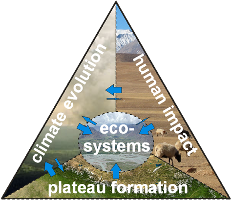
Understanding of land-atmosphere exchange processes over Tibetan Plateau including hydrological cycle is becoming increasingly important. Tibetan Plateau is source area for main Asian rivers that are of crucial importance for downstream communities of China, India, Bangladesh, Pakistan and SE Asia. This area plays an important role in formation of the Asian monsoon system. Recent variation of levels of Tibetan lakes and retreat of mountain glaciers have been reported in many studies. These processes are obvious consequence of complex changes of hydrological cycle that have to be studied in detail with respect to global change. Understanding of these changes is hindered by lack and sparsity of ground measurements . Accurate and up-to date information of the characteristics and the current trend of these changes can be provided by synergy of satellite remote sensing systems. Valuable information on trends in last decades can be extracted from available archives of satellite data. Data of SAR systems (TerraSAR, ALOS Palsar) will be of principal importance for their sensitivity to moisture content in soil and snow.

