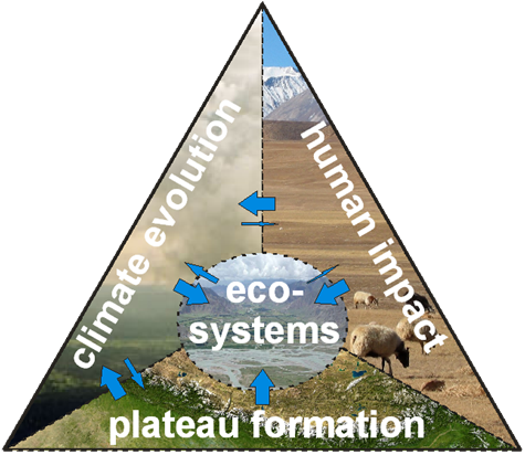
The South East Asian and Indian monsoon is one of the most important circulation systems of the Earth affecting countries with the highest concentration of population in the world. Knowing of possible changes within this system due to the climate change processes in effect since the end of the 20th century is of the utmost importance. The monsoon is closely connected with the existence of the Tibetan Plateau and a lowpressure system over this region in summer. Primary questions are, as formulated in TIP and the Chinese programme TORP (Tibetan Observation and Research Platform), if changes in ecosystems and land use on the Tibetan Plateau can affect the monsoon circulation and whether a changing monsoon circulation causes changes in land use. This problem is also including the glaciers in the area because they are the most important water source in that region experiencing relatively low precipitation.
To investigate these problems, the use of climate models is necessary. Unfortunately, such models have too large of a grid space to resolve the complicated topography of the area. This can only be done with grid sizes of 1 km² or less and non-hydrostatic models working in a nested mode. Furthermore, some specific features typical for the Tibetan Plateau must be simulated adequately, like a very high ratio of direct radiation and only little diffuse radiation due to the extremely clear atmosphere, low (highly effective for radiation) and deep (producing most of the precipitation) convective clouds and steep slopes in the topography. The atmospheric models must be coupled with the land surface (ecosystems, glaciers) by fluxes to allow for process studies.
Evaluation of the models by measured surface fluxes and boundary-layer measurements is an essential part of each project. Unfortunately, only a few measuring sites are available representing different land use depending on wind direction and atmospheric stratification. These data must be upscaled with footprint modelling to the grid size of the models. In addition, the data are also necessary for plant and soil studies of the ecosystems. As highlighted above, ecosystem development and land use on the plateau do not only depend on the local climate, but in turn also feed back to the atmospheric system. Human induced changes in vegetation structure and water consumption, in biomass allocation or soil conditions have effects on matter and energy fluxes and thus on climate and are of potentially far-fetching importance in the given context. Additionally, for the investigation of the ecosystems, the availability and usage of water must be taken into account. Hence, besides modelling of precipitation and cloudiness, inclusion of the development of the glaciers is essential. This calls for an interdisciplinary research agenda.
From the typical Tibetan ecosystems Kobresia pastures, permafrost, and forest, the first was selected, because of its ultimate role for the water and carbon balance of the Tibetan Plateau, its high susceptibility for climate and land-use changes, and for logistical and financial reasons. The plant structure and the agricultural management and other ecosystem factors, as well as the soil carbon balance influence the energy, moisture and carbon fluxes of these rangelands. It is, therefore, important to couple the ecosystems to the atmospheric models and to study scenarios of future climate and land use.