The Role of TERRECO Field Sites
P = Plot; LS = Landscape; R = Region
| Research Activity | Scale: | Locations: | Function: |
| Field experimentation, examination of controls on processes | P | | Definition of individual process driving variables, development of plot scale submodels, their testing, parameterization, and calibration of their climate sensitivities |
| Landscape modeling | LS | Haean-Myun Catchment | Coupling of atmospheric, hydrological and biological processes in response to landscape level controls; up-scaling and “calibration” of process influences at landscape scale; exchange of algorithms among projects |
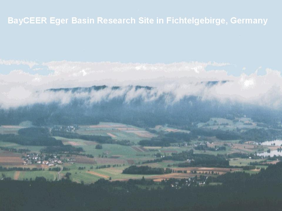
| Testing of landscape models with different patterns in land use | LS | Monitored catchments of | Generalization of model algorithms, the building of potentials for regional scale simulations and scenario evaluations |
| Clarification of linkages between demography, political frameworks, and the valuation of eco-system services across scales | LS and R | Haean-Myun Catchment, | Understanding different groups of water users, their attitude toward water as a “natural” resource versus an economic commodity, obtaining insight into decision making processes that influence land use |
| Scenario development for future climate conditions and altered land management | LS and R | | Generation of scenarios for future influences of climate and land use on water flows and ecosystem services. Inclusion of stakeholder attitudes in decision making that determine land use |
| Scenario evaluations | LS and R | | Expression in common terms of the ecosystem services derived in complex terrain, evaluation of potentialtrade-offs related to alternative scenarios, and management recommendations |