Water Quality Mapping Using Time Series of Multispectral Satellite Images Supported by Radiative Transfer Modeling
P 2.1 in Zooming out: Evolution, biomes, global trends
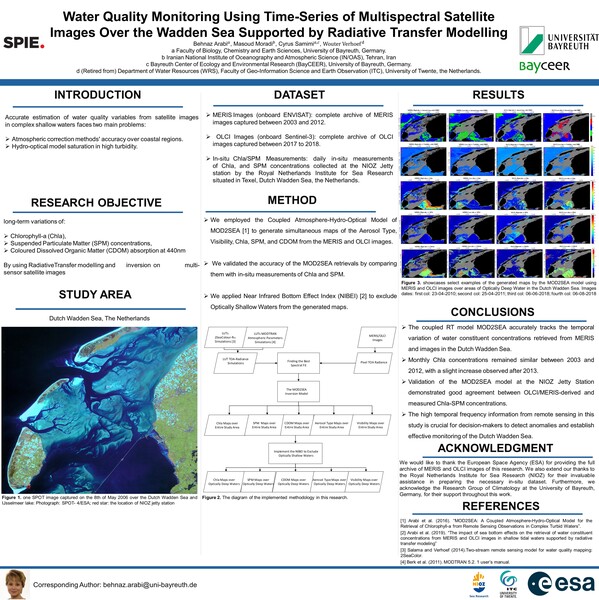
The Wadden Sea is one of the most important European coastal areas while its monitoring is mandatory due to its nature reserve status and its July 2009 inclusion on the UNESCO World Heritage List. Free satellite images and remote sensing techniques provide an opportunity to monitor this area in large synoptic view and high temporal resolution. In this research, we generated time series of Water Quality Parameter (WQP) concentration maps (i.e., Chlorophyll-a (Chla, [mg m-3]), Suspended Particulate Matters (SPMs [g m-3]), and Colored Dissolved Organic Matters (CDOMs [m-1]) using multispectral satellite images captured between 2003 -2023 over complex shallow waters of the Dutch Wadden Sea (DWS), the Netherlands. We employed the coupled atmosphere-hydro-optical model of MOD2SEA, for simultaneous retrieval of the WQP concentrations over the study area. The Radiative Transfer (RT) model of MOD2SEA was developed, validated and tested for both atmospheric correction implementation and water quality parameters retrieval from satellite images over the DWS by Arabi et al., 2016, 2018, and 2020. In this study, we generated WQP maps from 207 Medium Resolution Imaging Spectrometer (MERIS) (2003-2013) images and 76 Ocean and Land Color Instrument (OLCI) images (2018-2023). Next, we investigated the long-term spatial-temporal trends of WQP concentrations to detect any significant changes in response to climate change, global warming, and other environmental factors. The results showed a noticeable increase in Chla concentration from 2018 to 2023. The results of this research are essential prerequisites for decision-makers and coastal planners for the conservation and monitoring of DWS.


