Field Work of WP1
Work Package I of TERRECO must quantify atmosphere / land surface energy exchange, landscape climate gradients and, thus, the driver variables for ecosystem processes. Several approaches are planned in parallel, utilizing the mesoscale meteorological model MM-5, information from remote sensing, turbulent exchange modelling, eddy covariance flux measurements, and a ground network of observations.
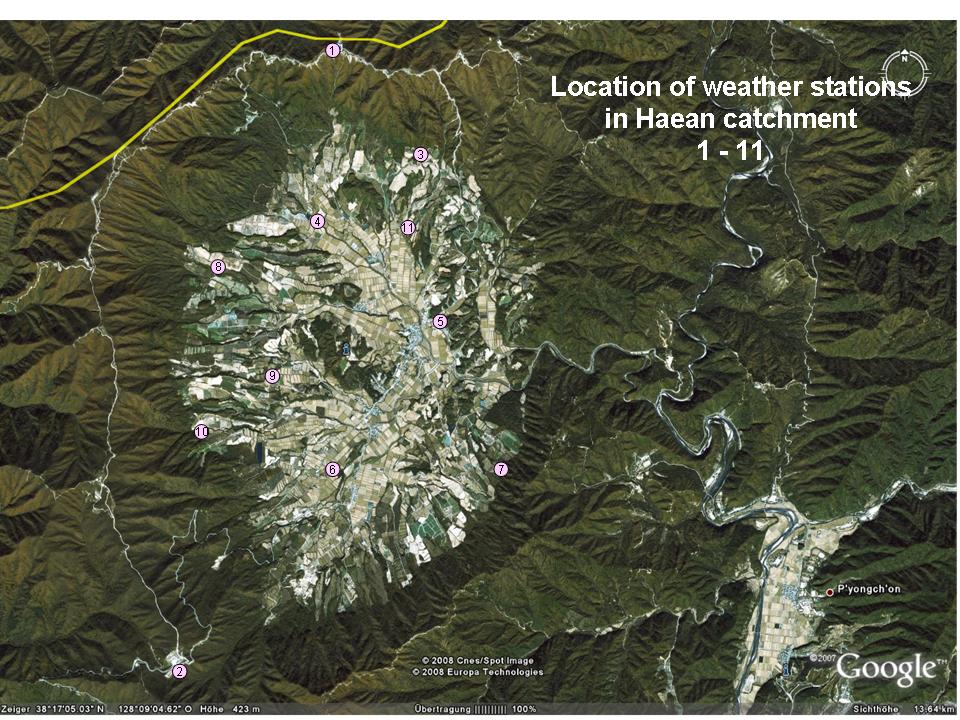
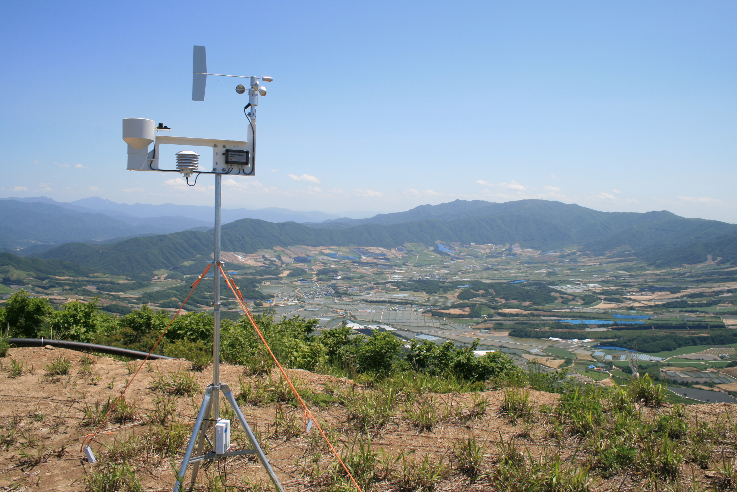
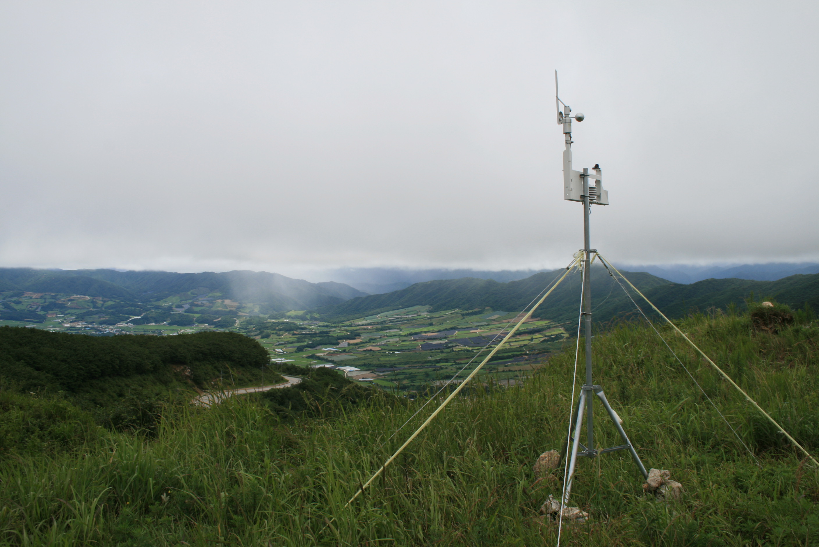
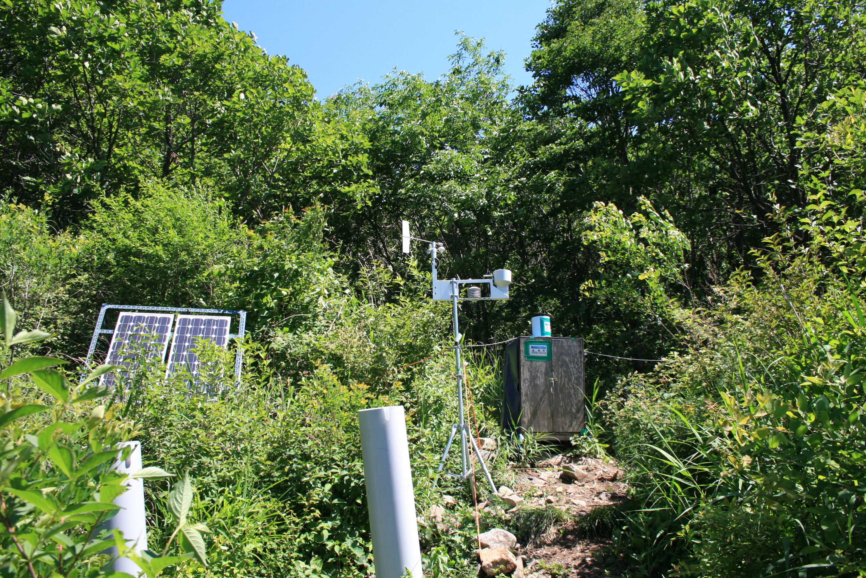
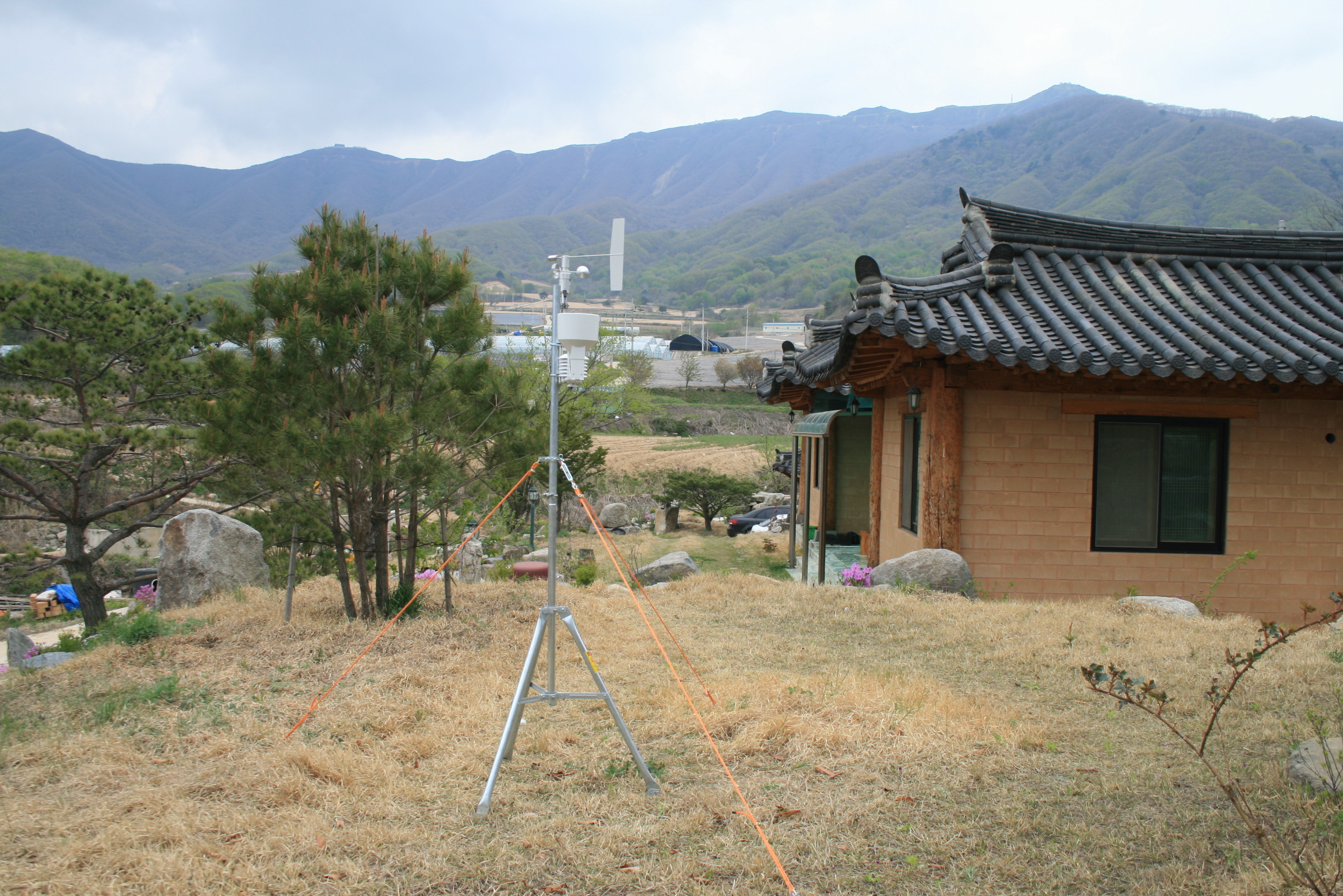
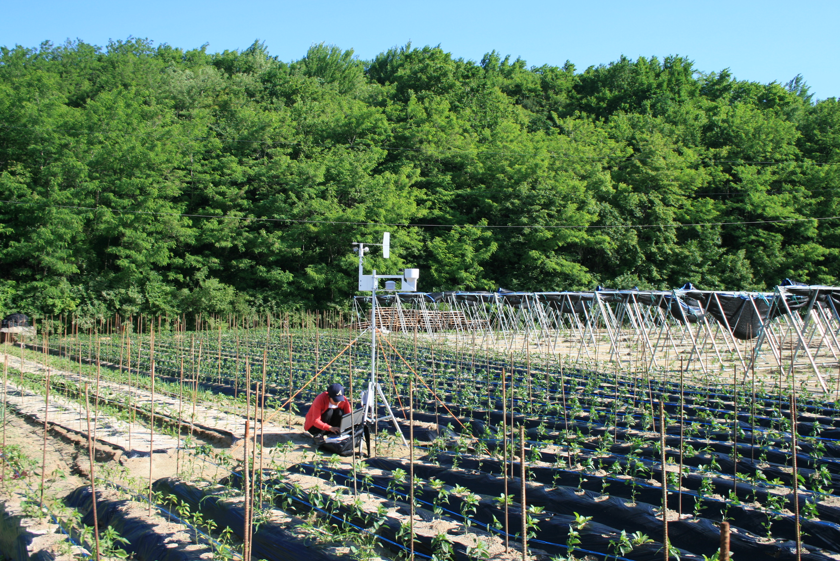
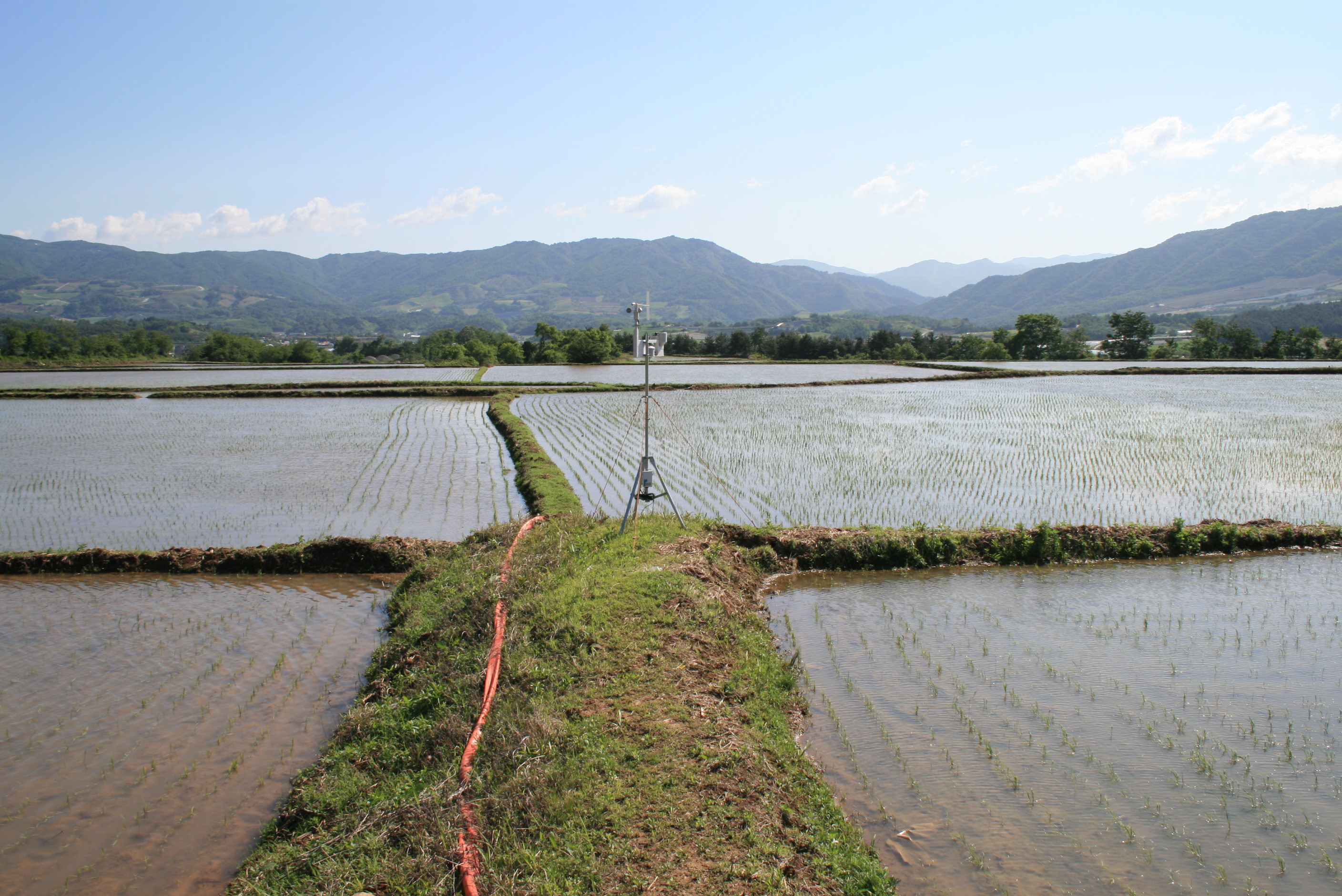
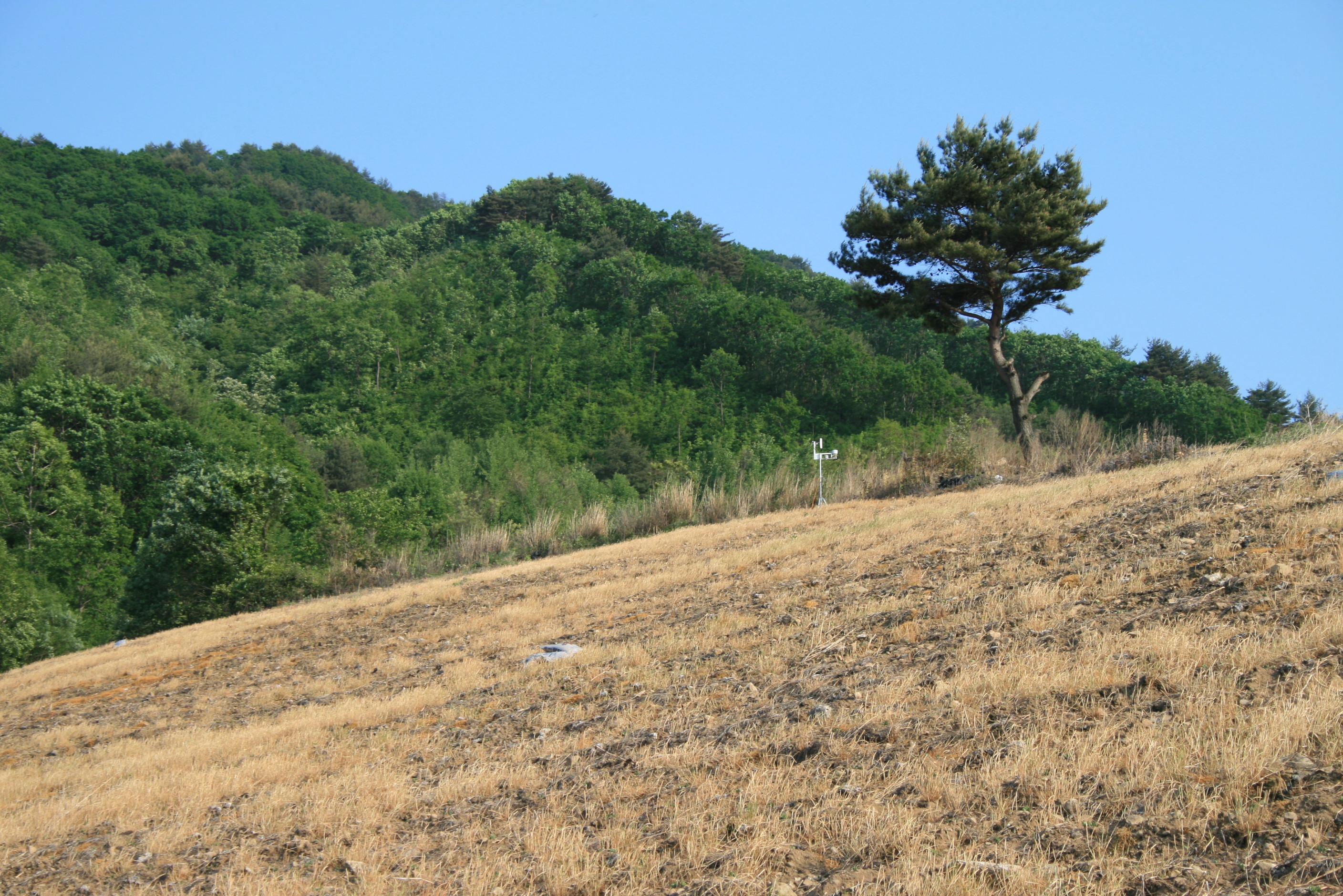
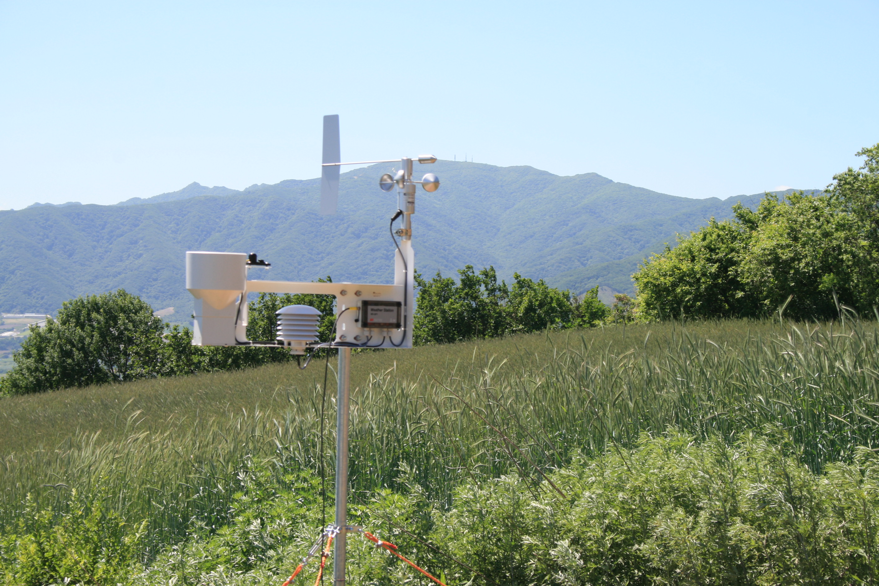
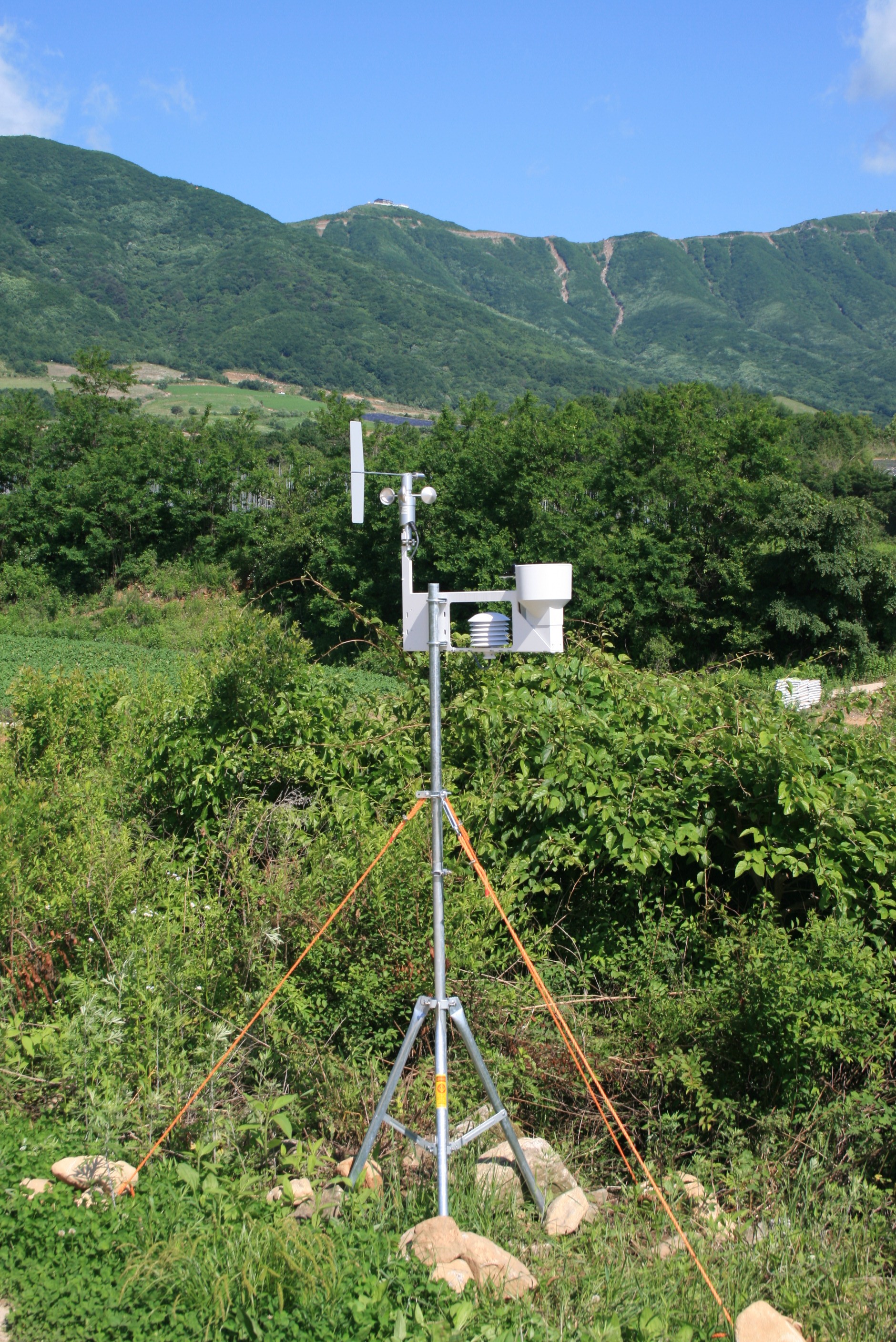
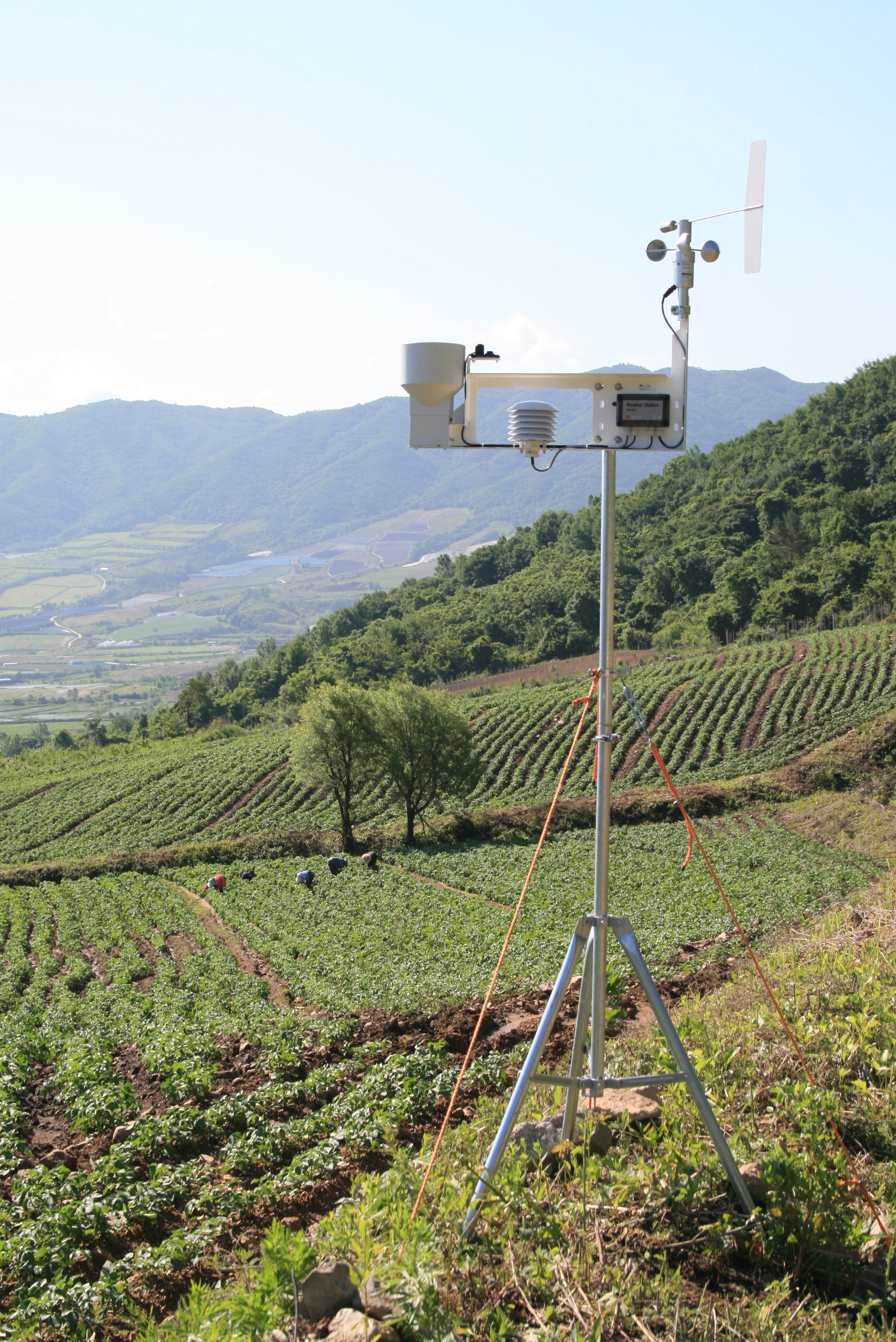
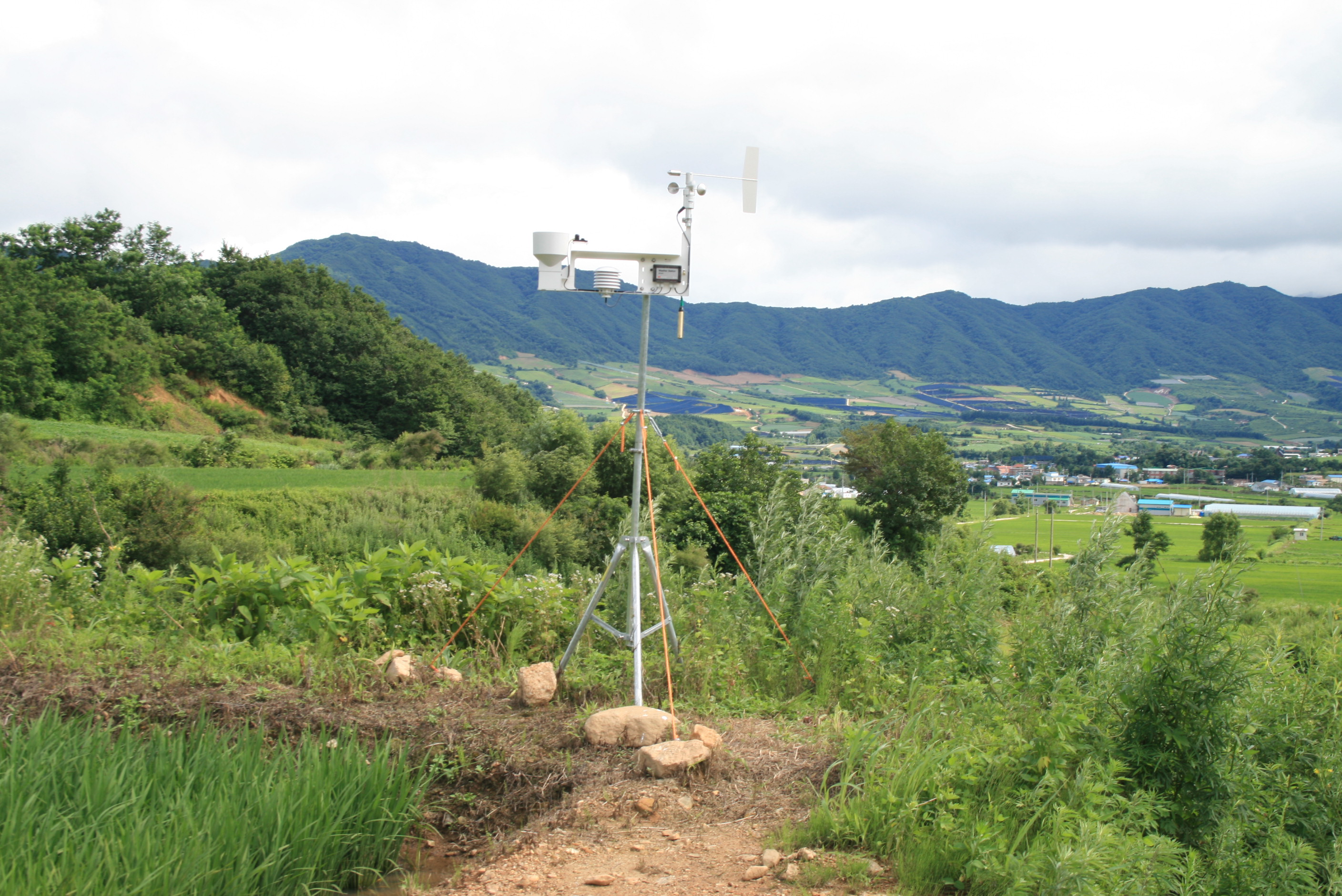
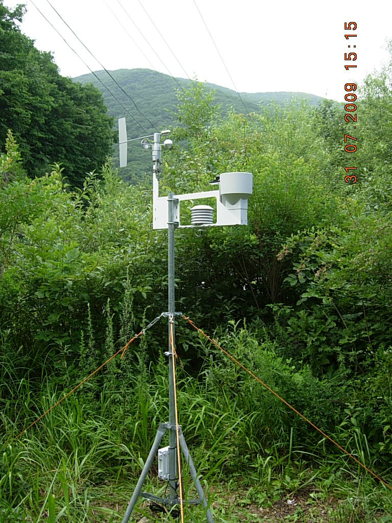
The network of ground observations has been established during the spring of 2009 with installation of 11 GP1 weather stations from Delta-T Devices Ltd. The climate data will be publicly available from the TERRECO web site. They are provided free to the
Remote sensing provides a further means to define land surface climate variables. MODIS remote sensing products for surface temperature, leaf area index (LAI) and other variables will be examined together with ground-based measurements. This requires an accurate georeferencing of measurements and RS data. Reflectance changes over time will be utilized to quantify the phenology of surface exchange characteristics; these are important for both feedbacks within MM-5 and for production studies in WP III. The remote sensing components of this work package ensure that extrapolation potentials for upscaling to the collection of small catchments contributing to
Links between atmospheric processes and ecosystem function are being established by quantifying water use by forest and agricultural vegetation; the first via studies of sapflow, and the latter via studies of leaf and plant gas exchange along with water use efficiency in growth (see WP III). The meteorological measurements together with forest inventory or remote sensing information provide a means for estimating spatial patterns in forest stand LAI, water use and canopy conductance. The information will be used in modelling efforts which relate surface fluxes to the hydrological balance on forested hillslopes.