AquaKlif: mid-term project update
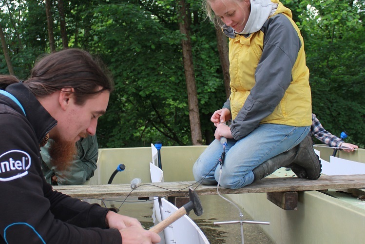
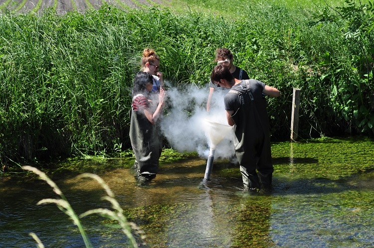
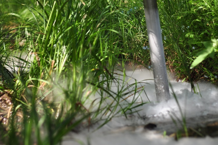
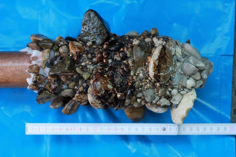
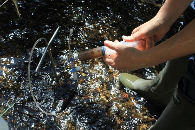
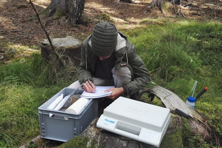
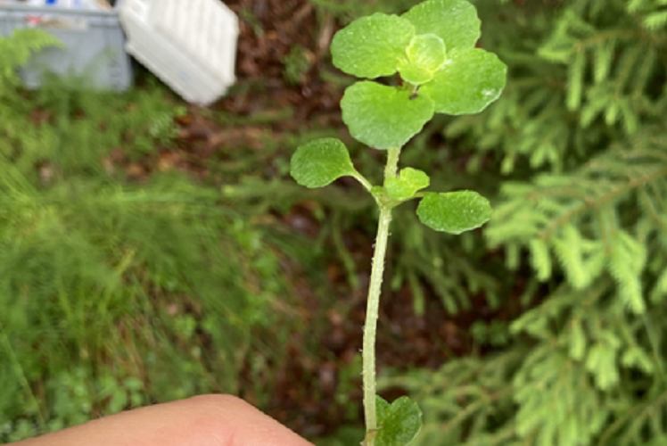
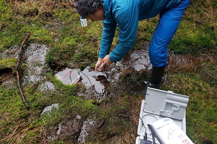
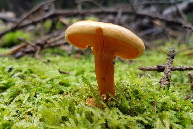
For AquaKlif, the year 2021 marks the transition from research to implementation. Here’s a brief update on the achievements in the AquaKlif subprojects to date, including several photos of different research campaigns.
all the people who have supported us with their experience, drive and ideas,
as well as our financial sponsors and the bayklif head office.
- You are very welcome to participate at the Dialogforum Wasserkontroversen (20th of May 2021!)
- If you’re interested in further AquaKlif events, please join the AquaKlif mailing list!
Report – March 2021
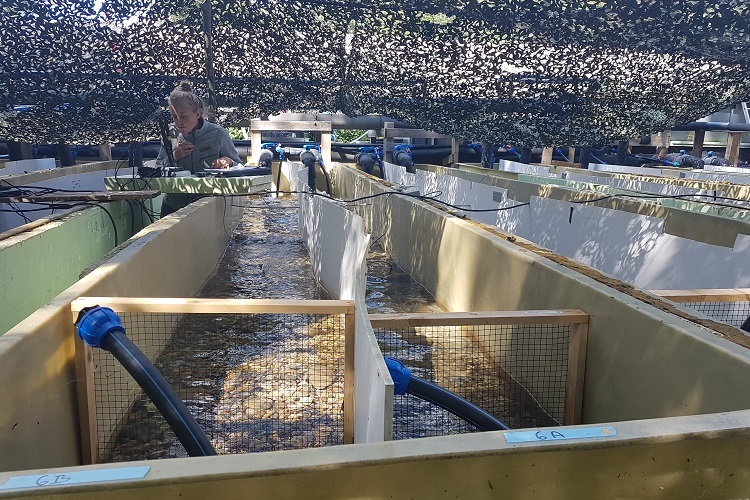
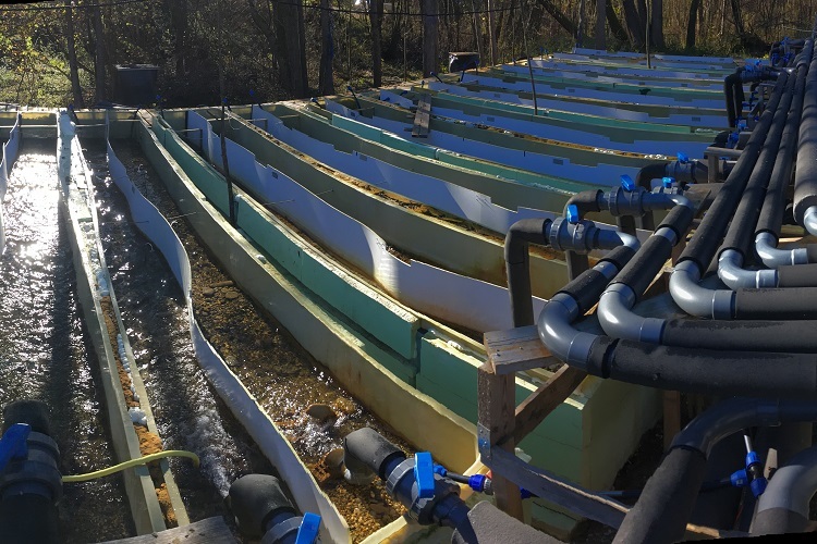
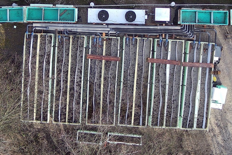
The interdisciplinary flow channel experiment in Freising – center piece for the mechanistic understanding of different stressors – proved to be complex in planning and implementation. Measurements have taken place since summer 2020 with the influence of individual or combined stressors being analyzed over realistic time frames. The aim is to understand the impact of rising temperatures, fine sediment input and lower flow rates on colonization through organisms and fish egg development and how this changes biogeometrical parameters (SP1, SP2, and SP3).
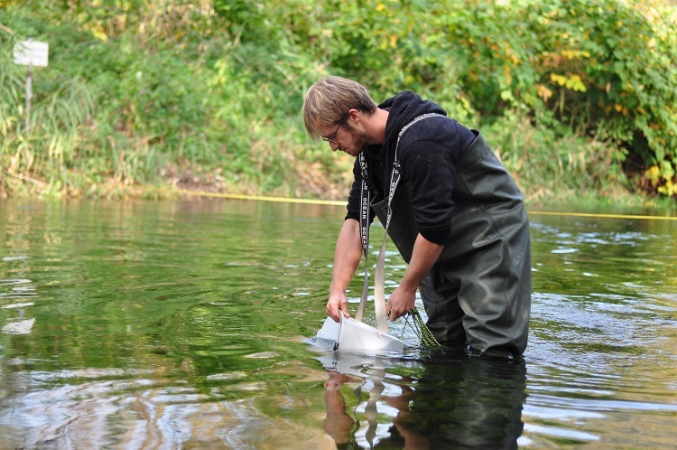
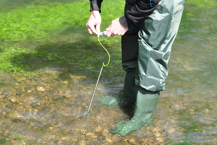
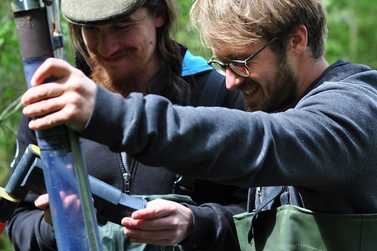
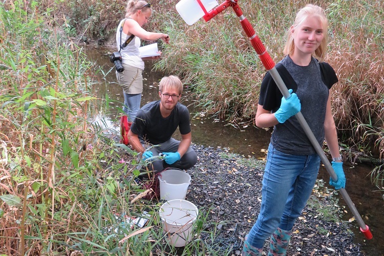
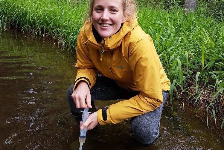
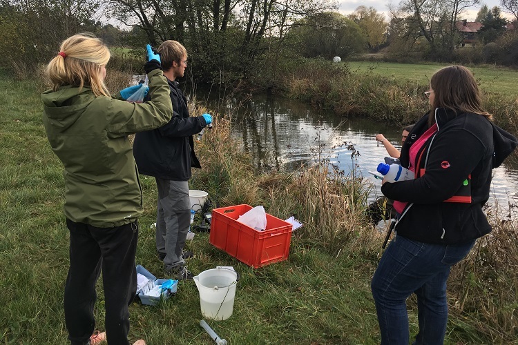
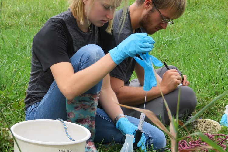
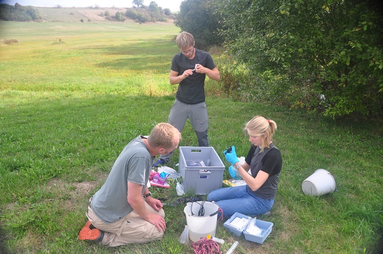
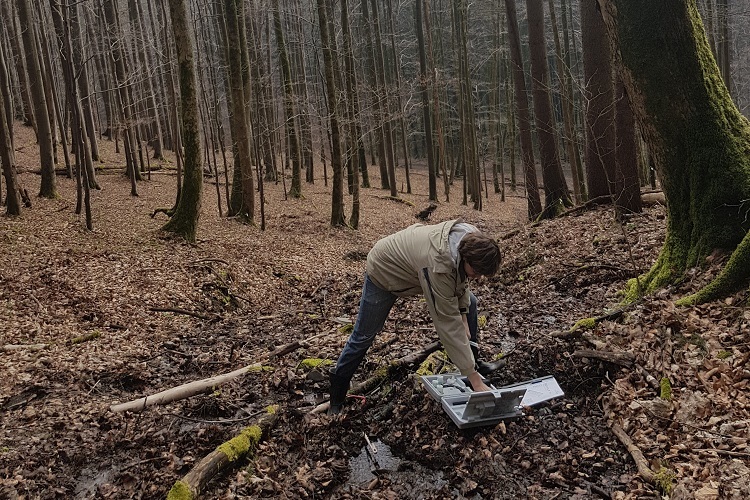
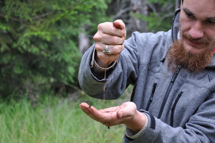
Since the beginning of the project, data on water ecology and chemistry, stable isotopes and groundwater input has been recorded in numerous measuring campaigns at three selected creeks. The open land results should help to transfer the insights from flow channels to larger scales. The Permuschelbäche in Hof, the Moosach in the calcaerous moraine area, and the Wiesent in Franconian Switzerland represent relevant watercourses in the non-alpine region of Bavaria. It is becoming apparent that the combination of low water levels and high temperatures can drive the precipitation of iron ochre with negative consequences for water ecology (SP1, SP2, and SP3).
Data recordings over the past 30 years regarding plant societies and water chemistry of more than 100 forest springs in Frankenwald and Fichtelgebirge were continued. Many springs had dried up at the end of the dry summers in 2018 and 2019. Over the years, clear trends have emerged with regards to certain key species and biodiversity (SP4).
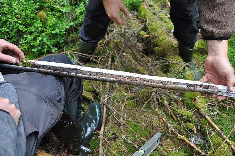
Working with regionalized climate scenarios, which were supplied by the State Office of Environment (Landesamt für Umwelt), was particularly exciting. This allowed for a calculation of impact on the level of individual catchment areas. The re-mapping of moor areas around the Lehstenbach showed the advanced degradation of the habitat and enables a more precise modelling and estimation of the actual discharge retention (SP5).
With the help of the Soil and Water Assessment Tool SWAT and the climate scenarios, the potential of agricultural cultivation methods for ecosystem services – in particular erosion regulation, nutrient retention and water supply – is being estimated based on topography, soil and current land use data. The modelling data for the catchment area of Schwesnitz is in full process (SP6).
Early on during the research phase, exciting guests such as Norbert Bäuml (Praxiplattform boden:ständig) and the renown water ecologist Klement Trockner were invited. bayklif research topics were presented at the geoecology annual meeting 2019. Some outreach activities had to be postponed or rearranged due to the pandemic: as such, thematic panel discussions with live stream (“Wasserkonstroversen”) are replacing the workshop for exchanging experiences between science and practice. A podcast on moor renaturation and further digital formats for environmental education are in the making (coordination: SP7).
Currently, measurement and modelling results are being analyzed, publications are in preparation and further data is being recorded in subprojects which started at a later time point. Meanwhile, the AquaKlif team has acquired international reinforcement from South Africa, India and Peru.


